The preparation
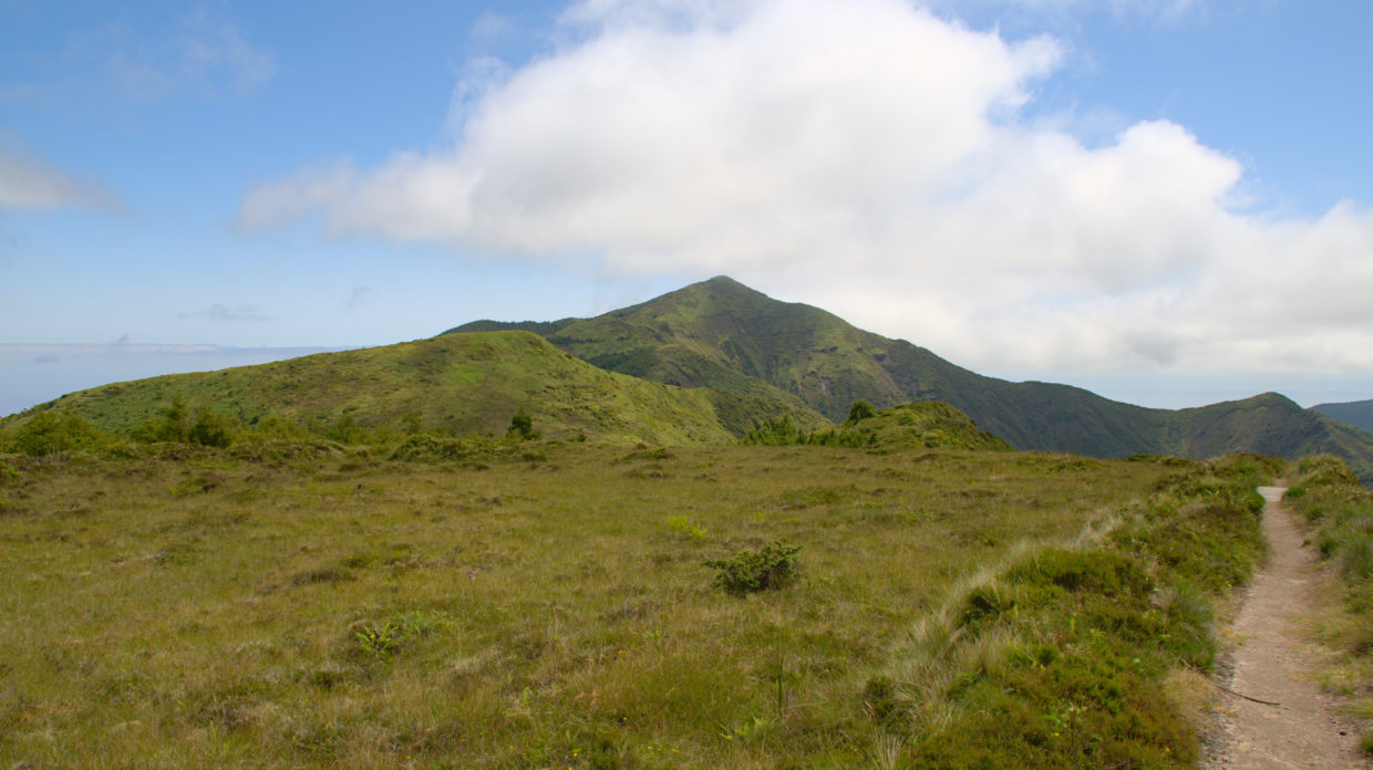
The Pico da Vara is a very nice destination not only because of its 1108m above sea level and its location. You can get up to the mountain without any great effort. Of course, there are also many hiking trails leading here over more vertical meters or greater distances, but we want to show you a very simple and yet very beautiful path to Pico da Vara. Our path follows from that here the parking lot shown is the “Pico do Cavalho – Pico da Vara” path. The parking lot is already on the ridge and at a height of approx. 940m it is very high that the path usually runs without a gradient. Before you start to the Pico da Vara, however, take a look out the window of the holiday home. From there you have a direct view of the mountain.
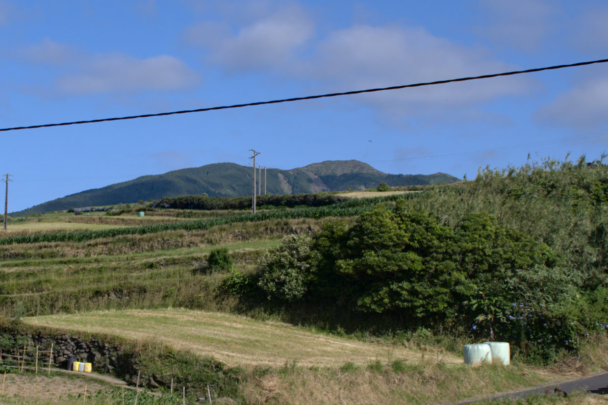
The summit is often shrouded in clouds and you can then save yourself the journey. If the mountain is in clouds, the view is blocked in both directions. The weather often changes here around noon. Here, it is sometimes worth it to leave early . Also note that the temperatures up here in winter are significantly colder than further down. Here the temperatures in winter can fall below 10 ° C and together with the rather humid wind, it is noticeably cool.
If you want to get to the summit, you must register with the municipal administration. You can do this here and easily apply. It goes without saying that here is a nature reserve, as elsewhere, no rubbish is left and the animals are not disturbed.
Here we go
The path begins at the parking lot towards the Pico da Vara.
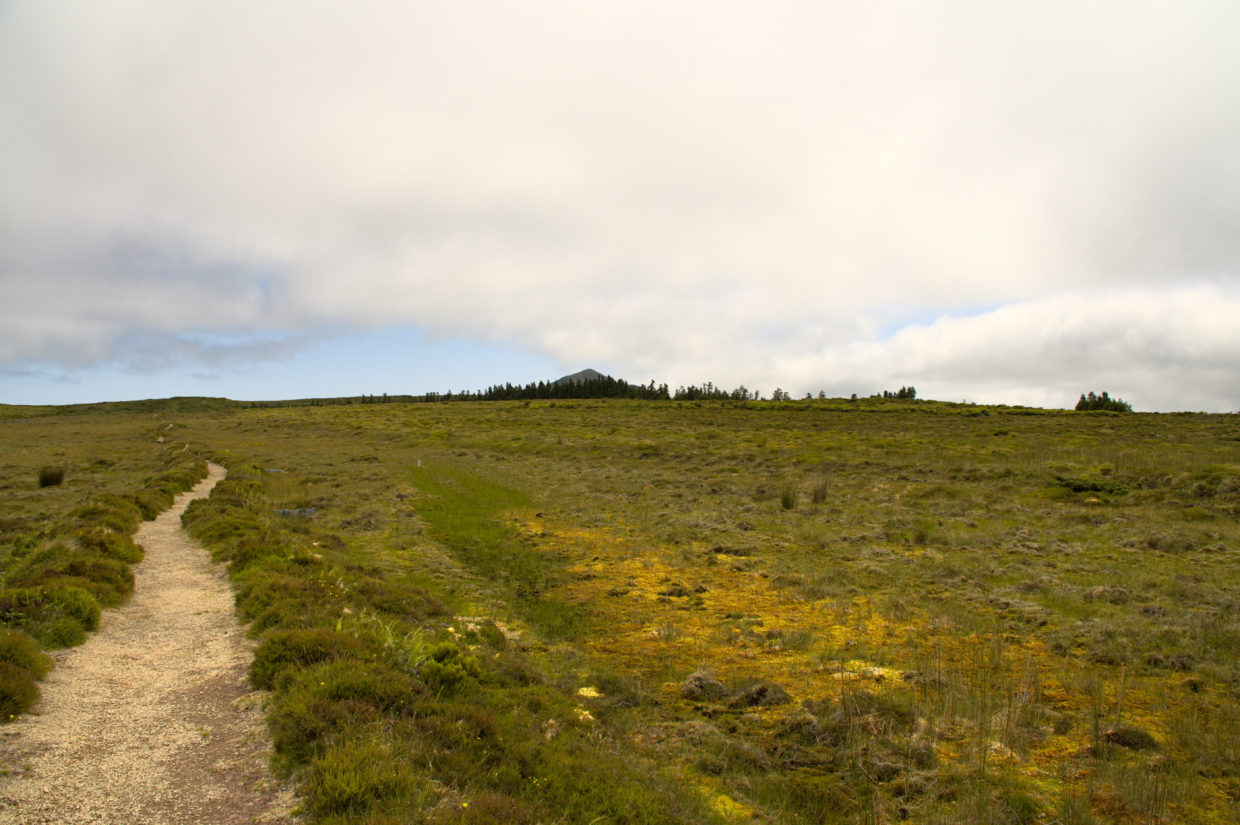
On the left and right of the path a swamp has formed due to the high humidity, but this does not have to bother you. Wherever the swamp comes too close to the path, small bridges lead you safely further. At the beginning of the short tour, the differently colored mosses that are embedded in heather bushes and other small plants are particularly impressive. Again and again you will see frogs that live in the small pools, startled by your movement, jump into the water. The animals, which are well camouflaged by their green color, can usually only be seen when they jump into the water.
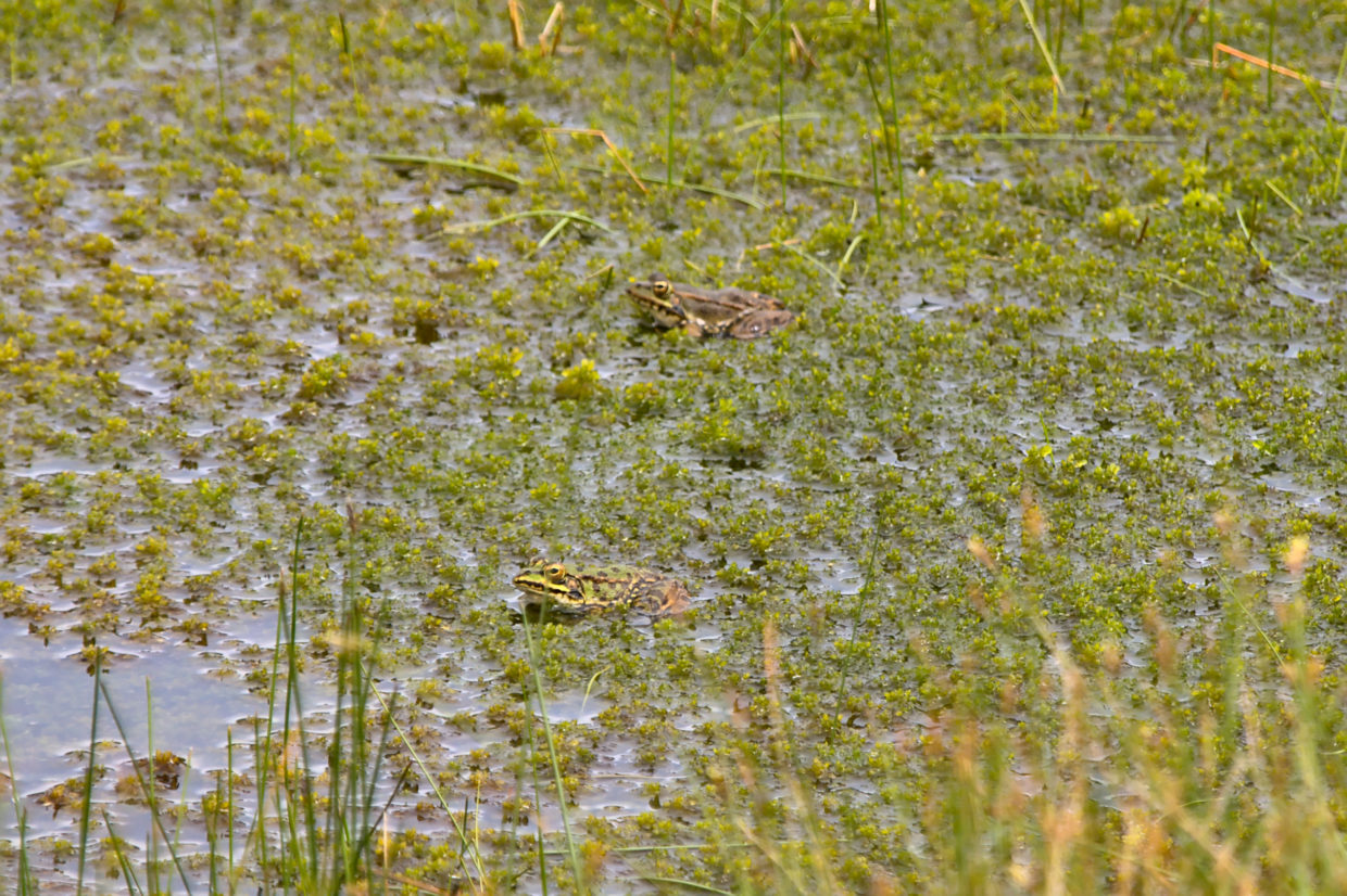
In addition to frogs, you can also watch bats and various birds here. After a short time you will reach the valley running in the direction of Povoação on the ridge, which gives you a view of the southern coast.
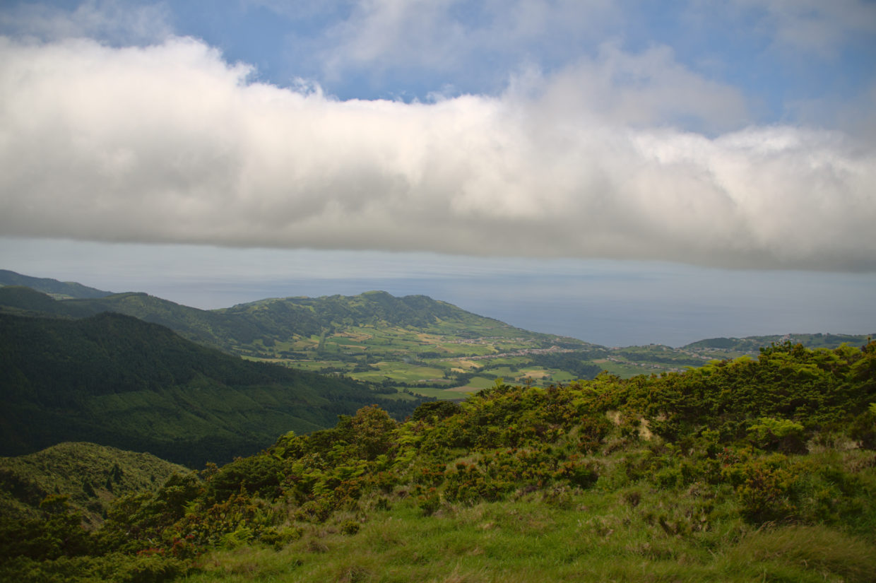
The panorama opens up in front of you over the various peaks to the east, such as Pico Bartolomeu, which can be easily recognized by the transmitter masts. Practically the entire area is wrapped in dense green.
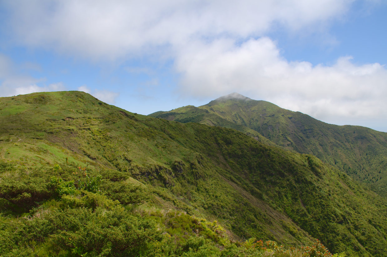
A little further, the view to the north opens up.
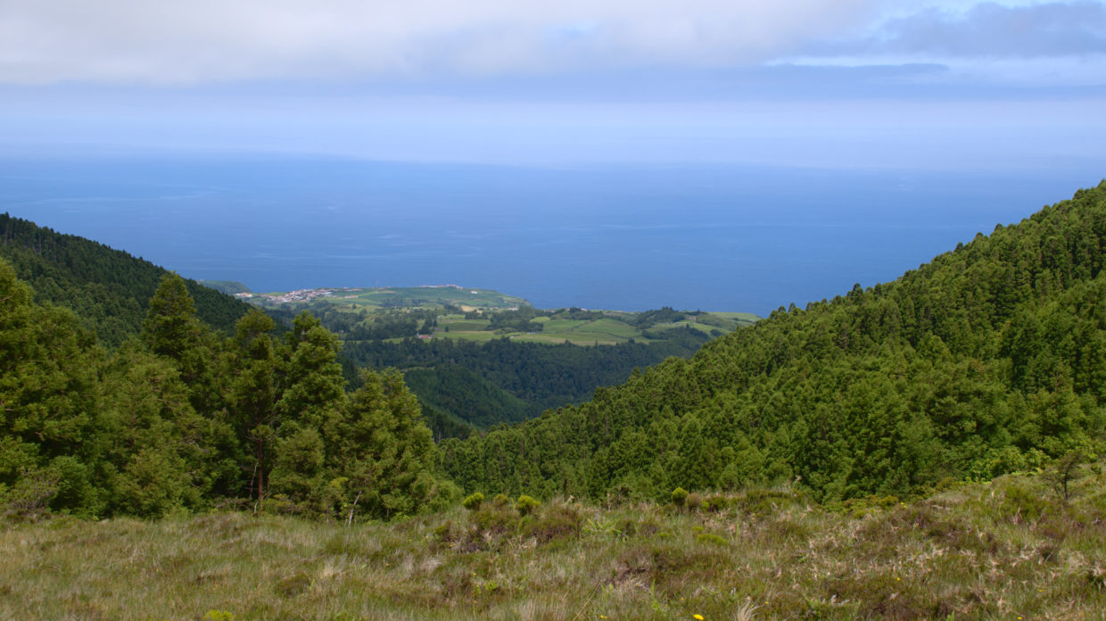
By the way, there are 2 crash sites of aircraft that crashed here in the 1940s very close by. There are also such places on the other islands of the Azores, as planes too . During this time we had to land here while crossing the Atlantic, but the weather here changes very quickly, which has often made the approach an adventure.
Anyone who has obtained permission can “climb” the nearby summit from here. Otherwise we usually go back to the car from here. Since the route is really not long, this detour is also ideal for bridging “waiting times”, for example before whale watchning or similar appointments.
