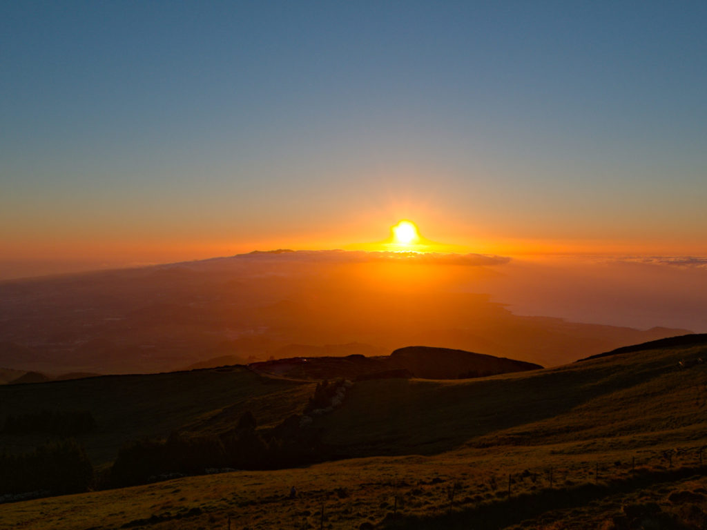
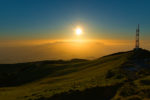
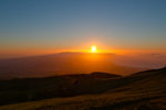
The Pico da Barrosa is, like hardly any other place on São Miguel, a place where every day countless people drive by when visiting Lagoa do Fogo and overlook the real beauty of this place. Not that Lagoa do Fogo and the descent down to the water are not worthwhile, but the much less strenuous climb to the ridge of Pico da Barrosa is at least as rewarding. Admittedly, the peculiarity of this place is hidden behind a row of radio masts, which are not really worth seeing. And the time and the weather also play a very important role here. But what is it that makes Pico da Barrosa so worthwhile that even the island’s residents, and especially young couples, come here? Well the location is made to offer magnificent sunsets combined with a view that extends almost over the entire island. But let’s start at the beginning.
It starts here
The best place to start is the “Miradouro da Barrosa”. Here you can easily park in the parking spaces on both sides of the street. From here a path leads up to the radio towers, which is the only steep section of the short hike. Take the left path. As you can see, I was not completely alone on the hike and as will be shown later, it will stay that way.
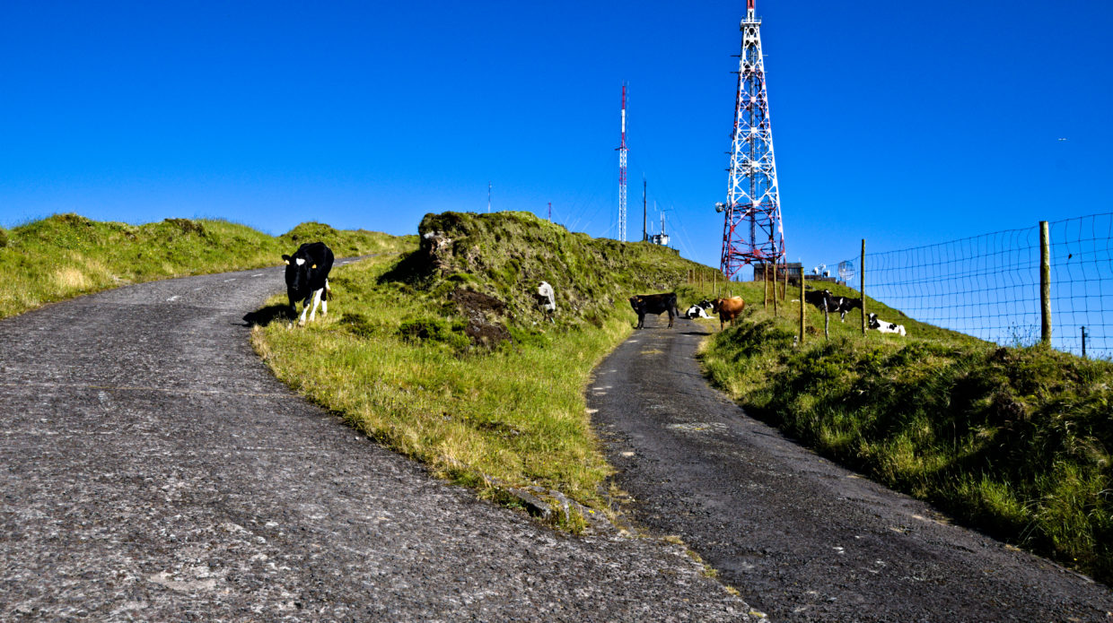
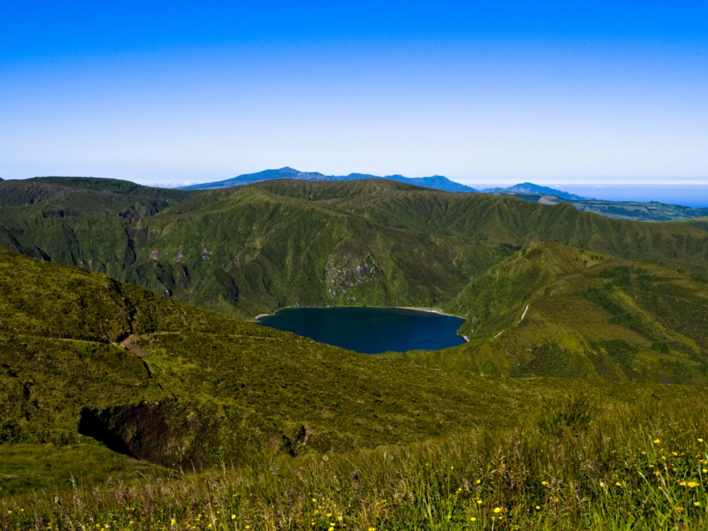
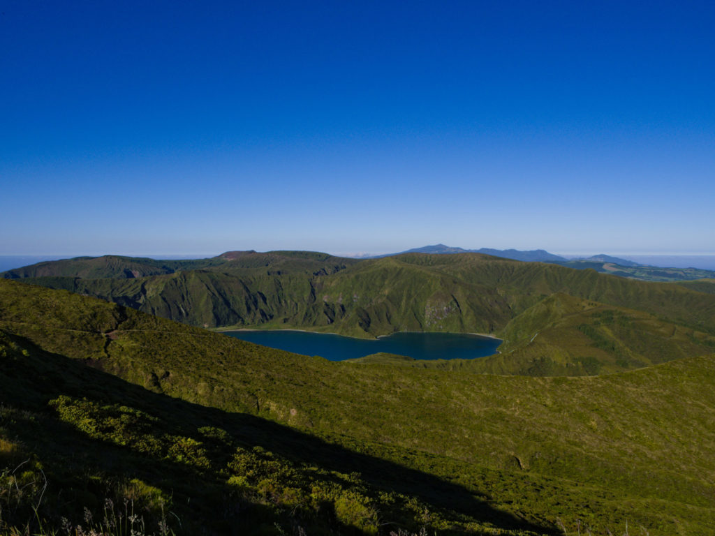
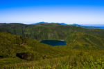
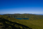
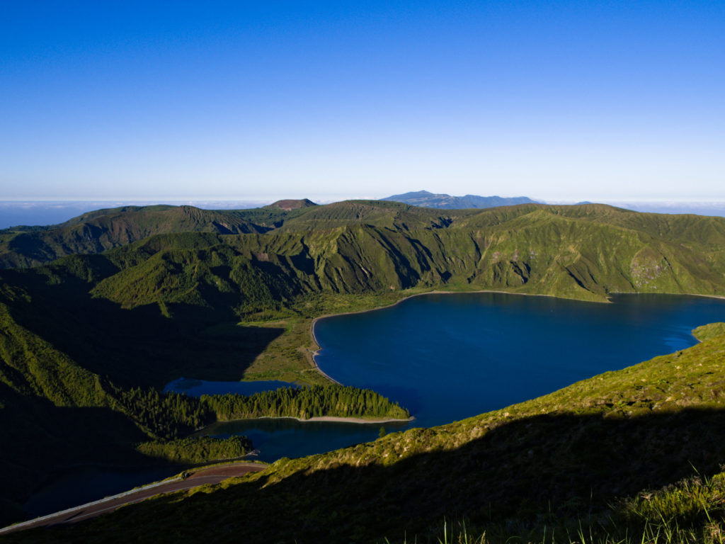
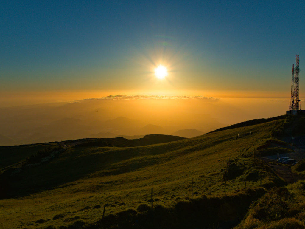
At first I was a little disappointed. The radio masts, the more or less dilapidated houses on the site and the collapsed fences reminded more of a lost place than a special place. I almost turned back and looked for another place for the sunset. But the time was too far advanced for me to be able to reach my second goal in time. So I kept taking some photos here and until then the map on the cell phone promised a short way south, connected with the hope of catching one or the other view. At least the Lagoa do Fogo could be seen from a different perspective from here.
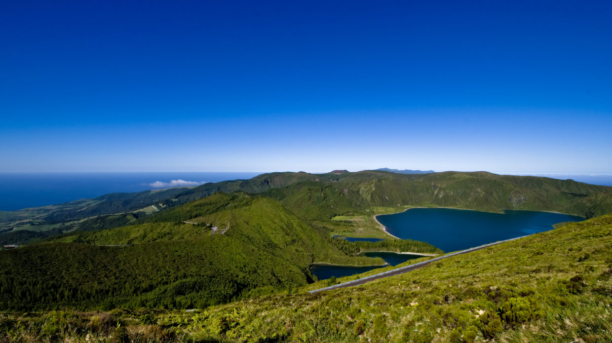
At the top of Pico da Barrosa
On the way to the summit of Pico da Barrosa, however, it became clear that it would not have been a good idea to turn back. The summit of Pico da Vara slowly appeared behind the crater wall of Lagoa do Fogo and thus behind Pico da Vela. Once at the top, there was now a view of the summit of Pico da Vara with the surrounding peaks of the highest mountains of Sao Miguel in the east …
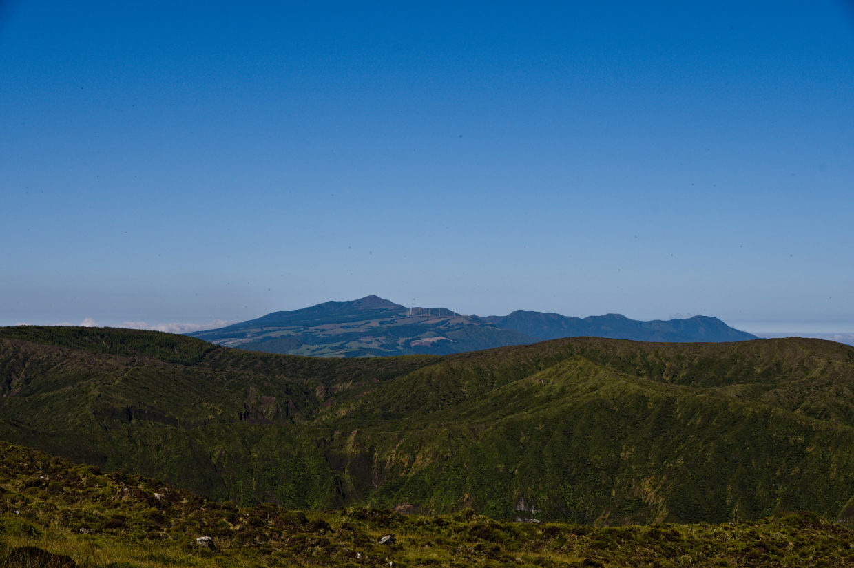
and the Pico da Cruz with the crater walls around Sete Cidades in the far west.
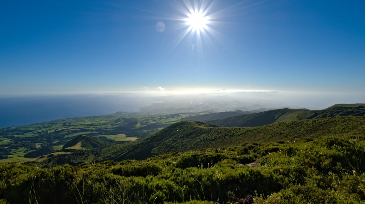
Continue along the path towards the south
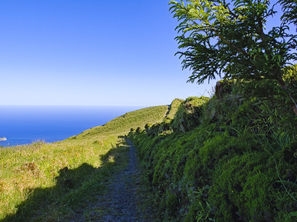
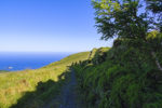
Since there was still some time until sunset, we continued south. The path didn’t seem difficult and the location promised good views in all directions.
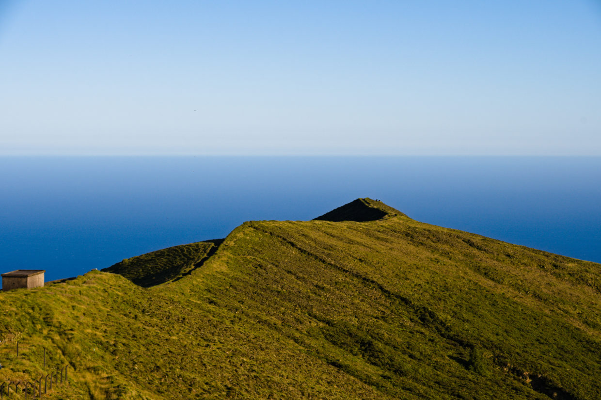
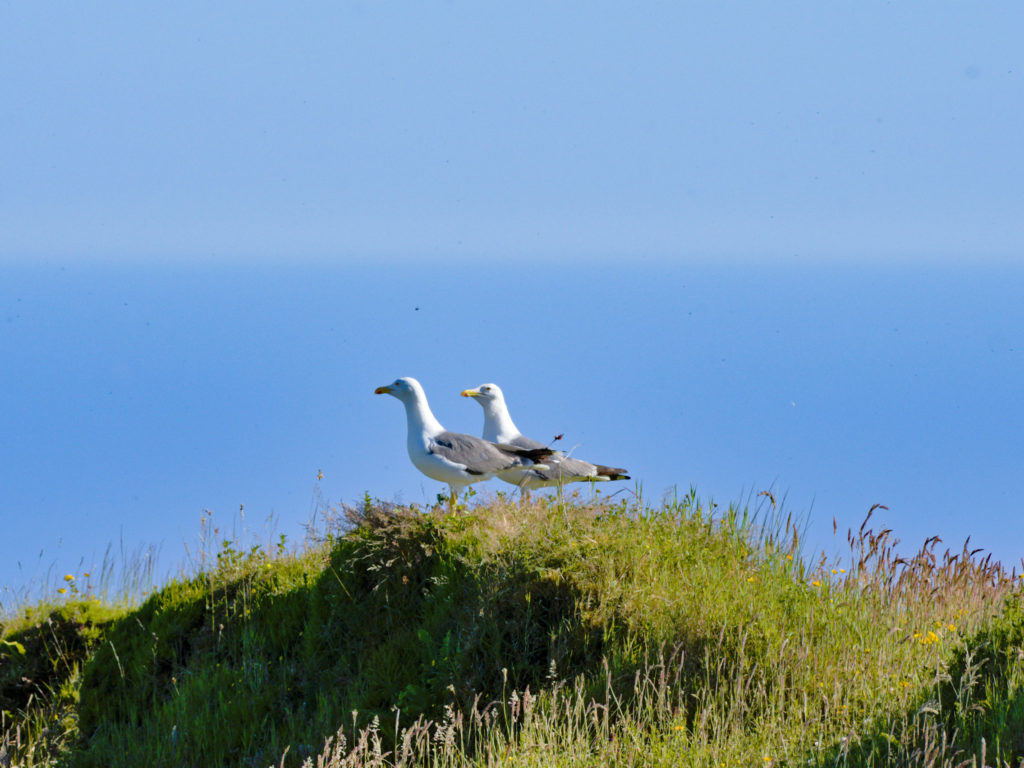
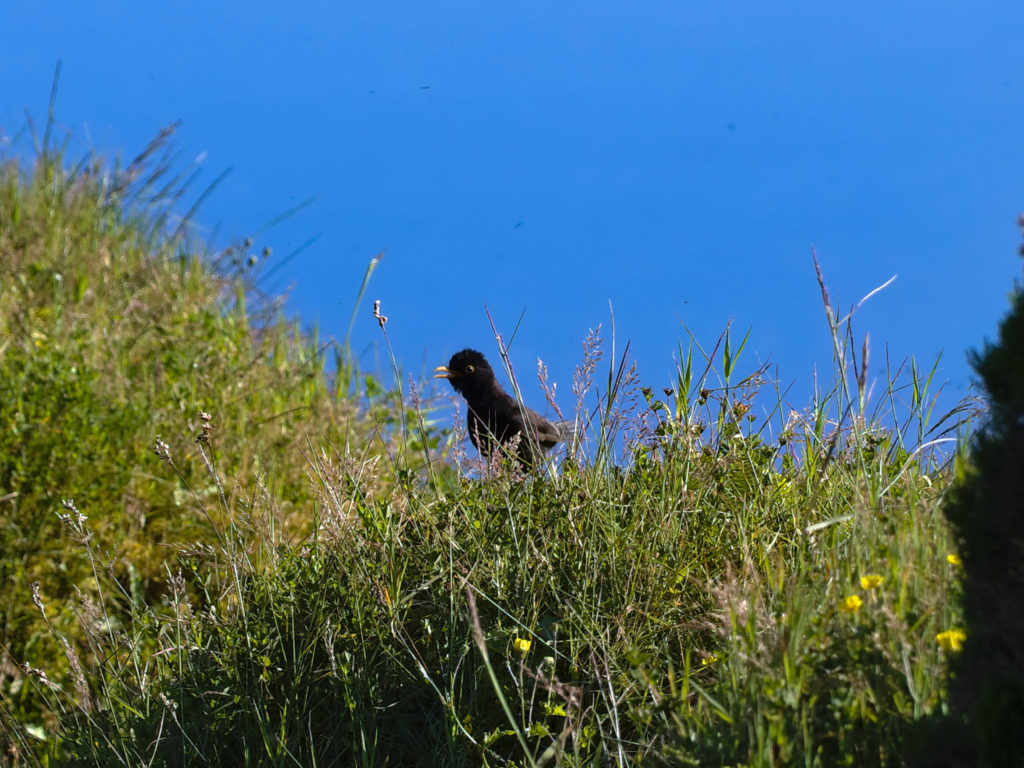
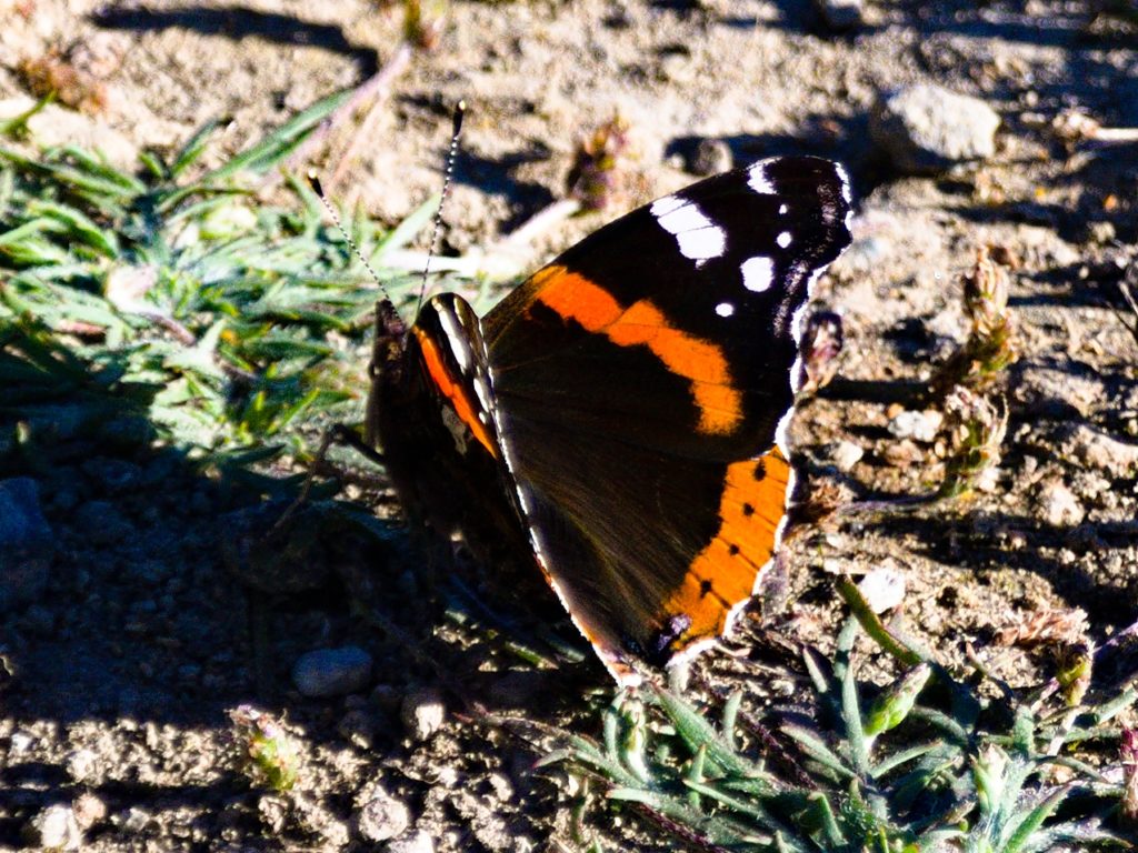
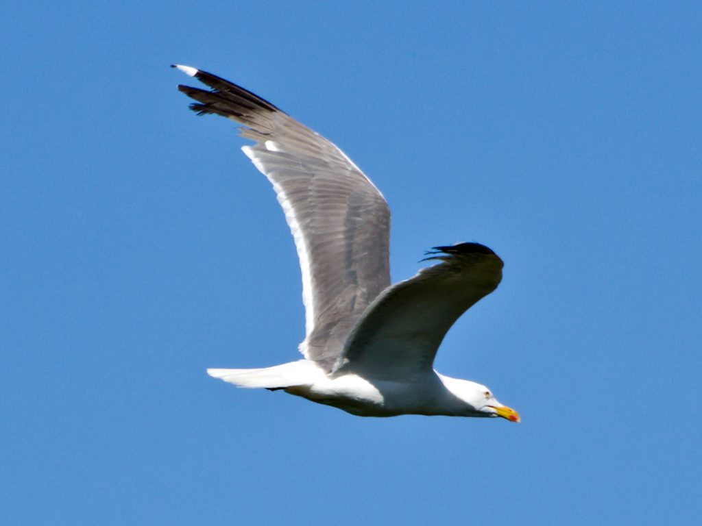
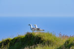
The birds seemed to like this place too. The seagulls breed on the steeper slopes, blackbirds look for food on the edge of the path and butterflies visit the flowers on the edge of the path.
Please make sure to stay on the path so as not to disturb the birds.
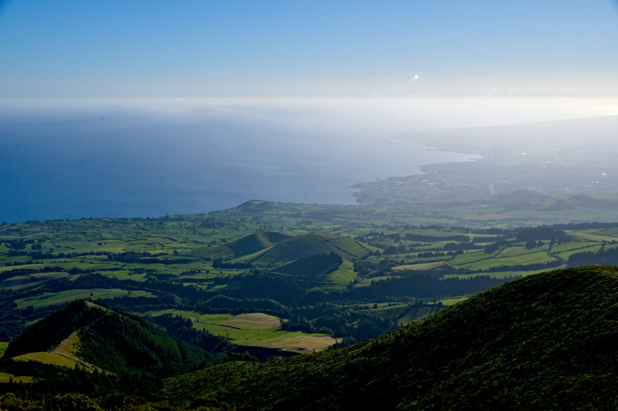
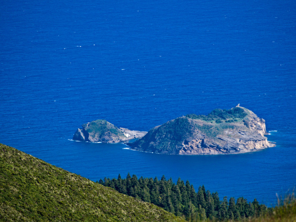
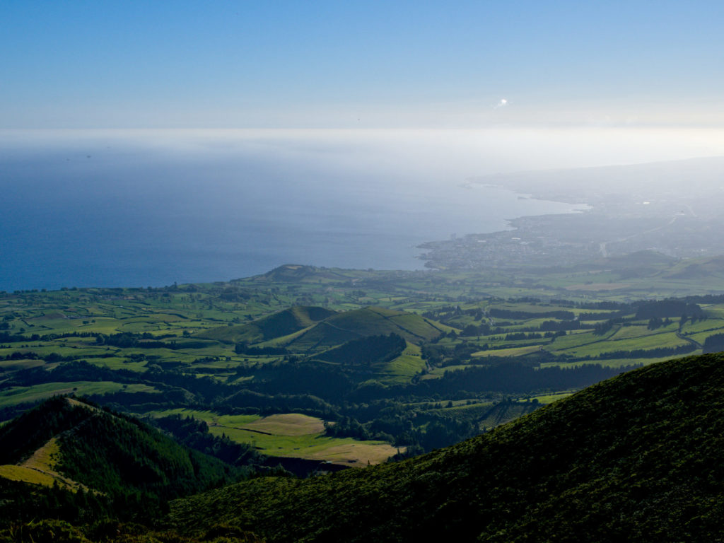
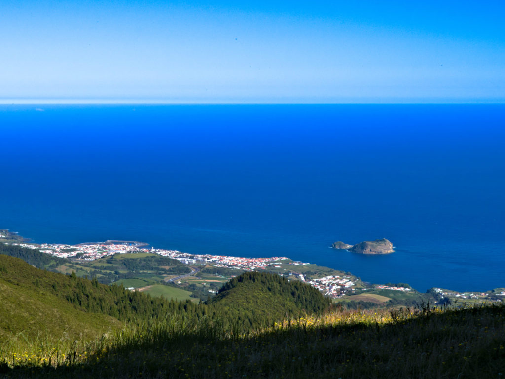
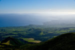
If you have walked a bit, the Ilhéu de Vila Franca first appears in the south and then the place itself. To the left and right, the Lagoa do Fogo and the western part of the island can be seen.
In the evening
After the sun had slowly started to sink lower and lower, I slowly made my way back. Only now could it be seen that someone else had followed me.
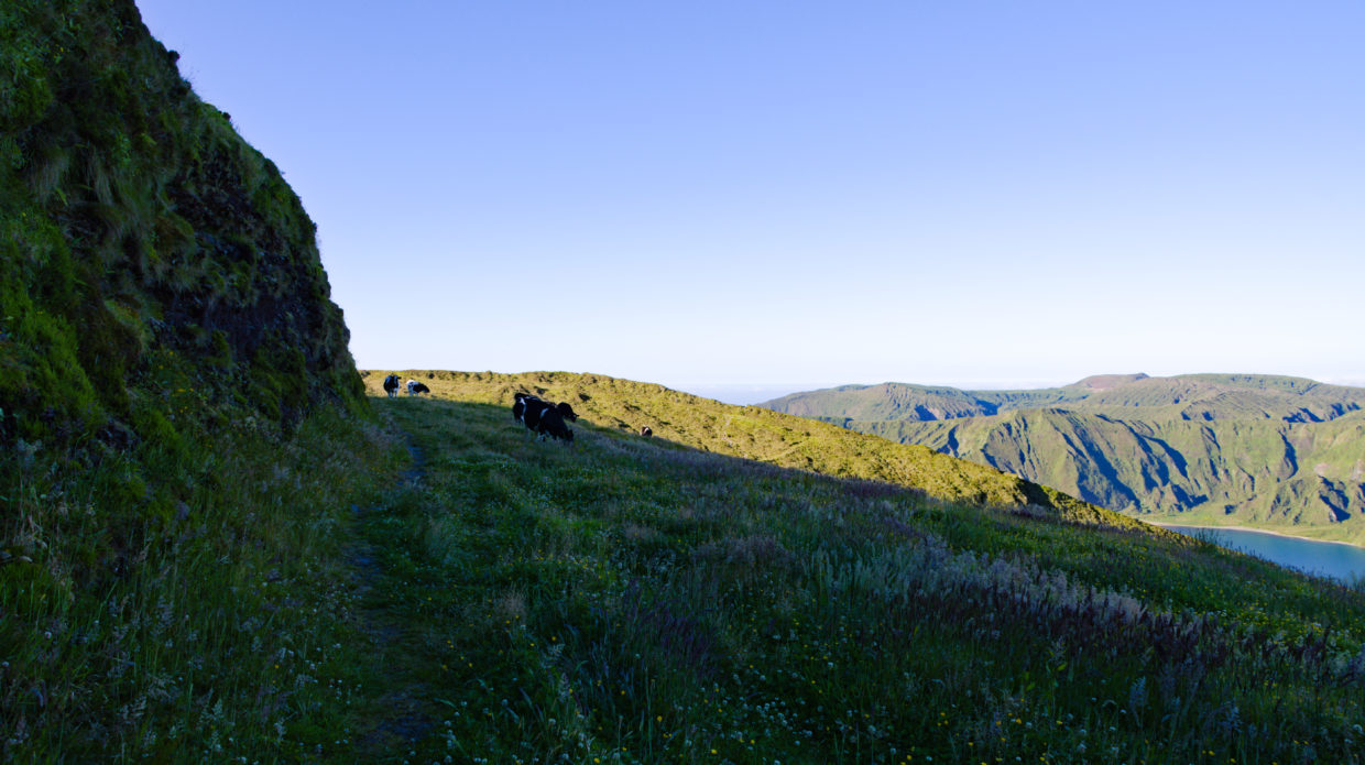
It was actually the same cows that were already down on the path. It was only on the way back did I noticed that the fence was broken in one place. As long as it’s not copsare, that’s not a problem either. And so the cows weren’t bothered to eat when I walked back through them.
Back near the radio towers a few people could suddenly be seen, where I was alone the entire time except for a mountain biker who used the steep incline to practice downhill at the end of the path. But there was a good reason for that. Some couples and a few families came around.
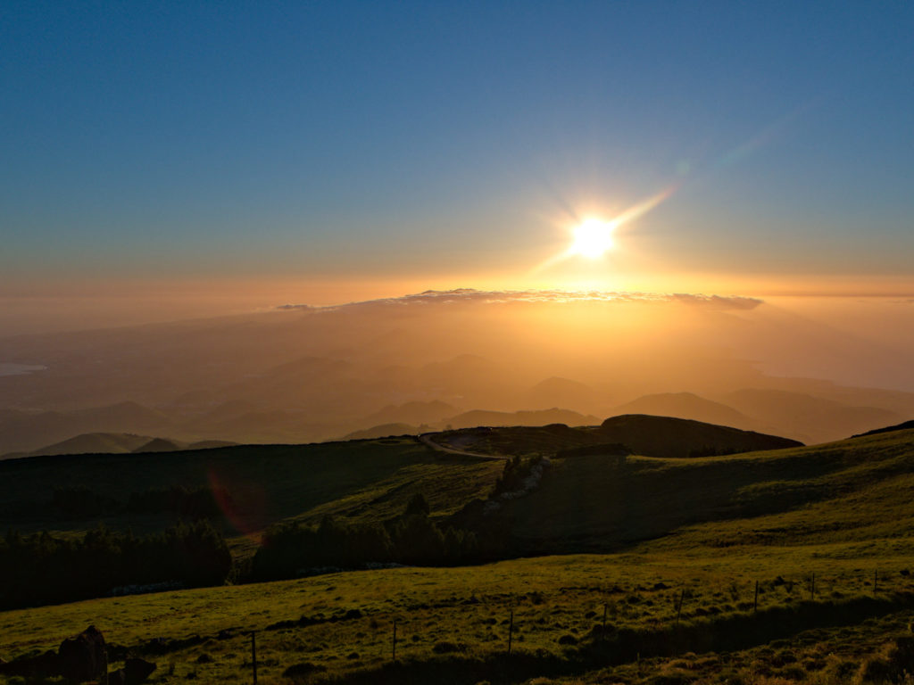
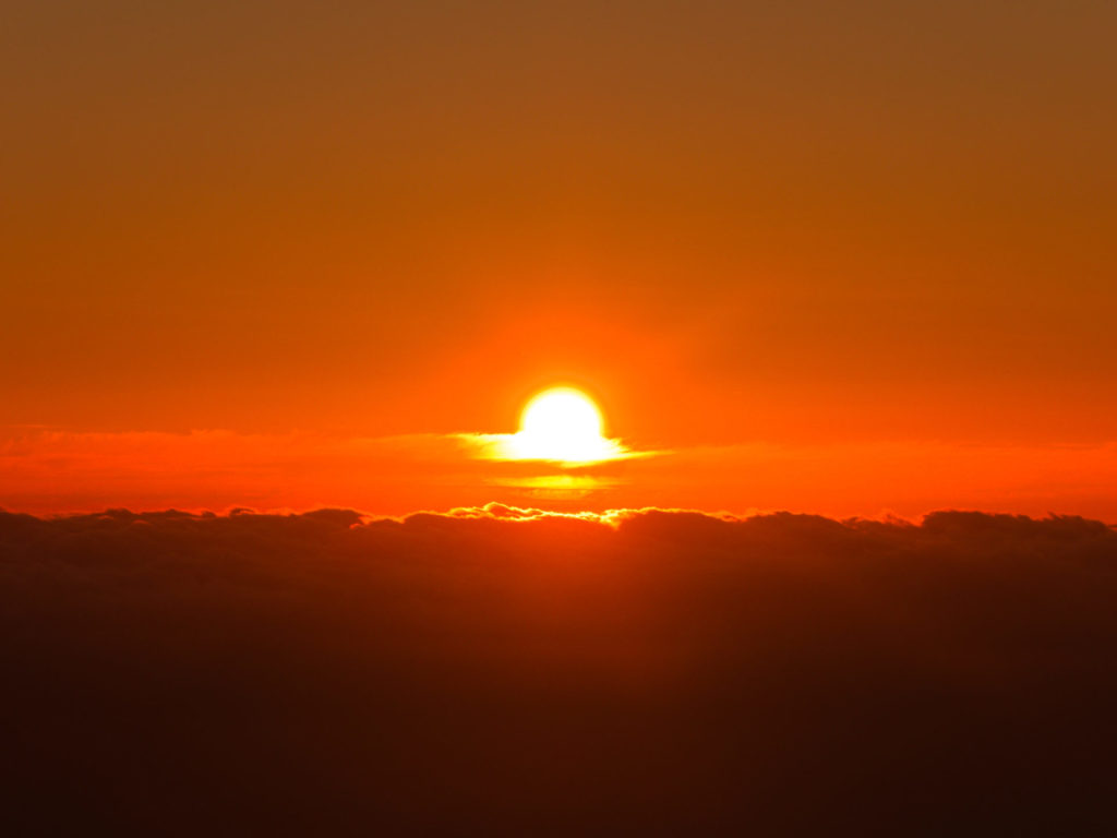
The sunset, which only began with the increasingly longer shadows at Lagoa do Fogo, with a sun that practically seemed to disappear in the crater at Sete Cidades, was simply terrific. And even if I didn’t have a jacket with me, which I would recommend by the way, I enjoyed every minute. Even when thin clouds come in, which sometimes happens, it’s one of the best spots for sunsets on the whole island. Incidentally, a visit at sunrise is still pending.
