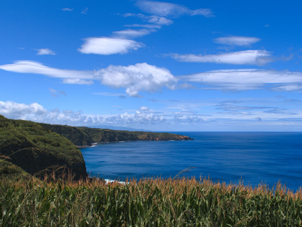
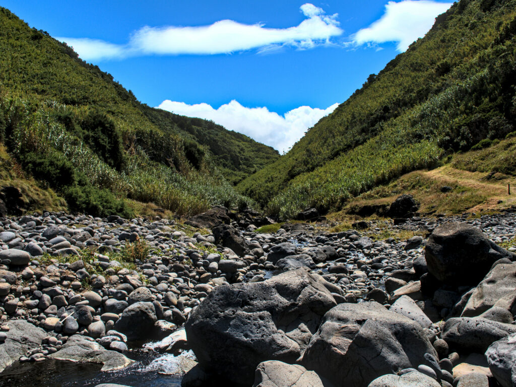
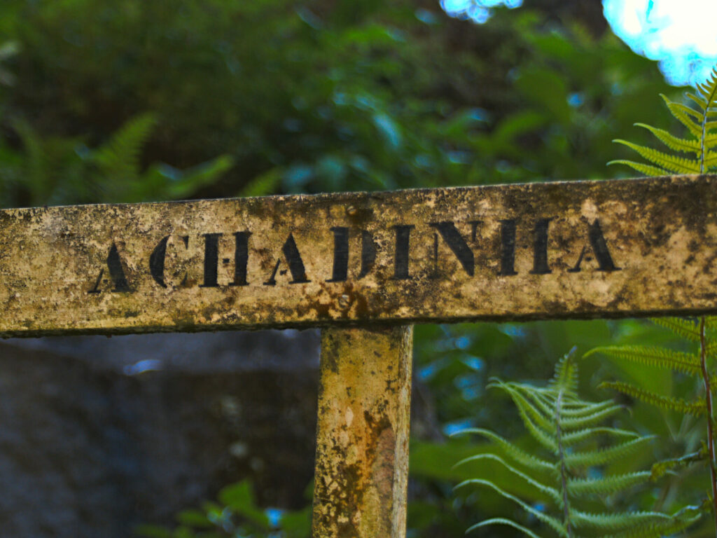
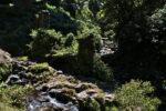
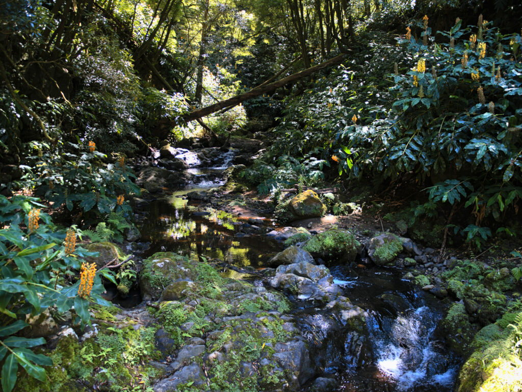
This short hike of about 5 km on the trail “PRC38SMI Lomba D’El Rei” near Achadinha will lead you along the cliff to the Ribeira dos Caldeirões, the ruins of an old water mill, and the last Azorean rhino. But don’t worry, this last rhino has been lying quietly for a long time and is enjoying the calm and the waves coming in. But more on him later. Much of the path runs parallel to the Ribeira dos Caldeirões, so to avoid confusion, corresponds to the river of the same name. Many people only associate this name with the park situated a little upstream, with the artificial waterfall.
This is where it all begins
It is best to park your car here, in front of the church, in the large car park. The fork in the road to the “Lomba D’El Rei” hiking trail is a few metres to the left. This leads you first downhill towards the coast. The paths are not completely new, but they are all easy to walk on. There are short stretches of road, but all are not very busy. Don’t worry, the only major road is never crossed directly, but under or over a bridge. With long breaks, it took us 2 hours 45 minutes and there are about 380 meters of ascent to cross.
The way to the coast
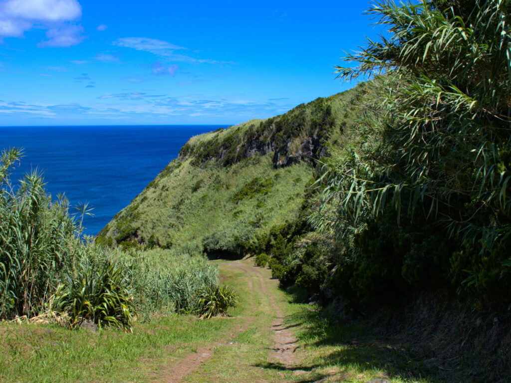
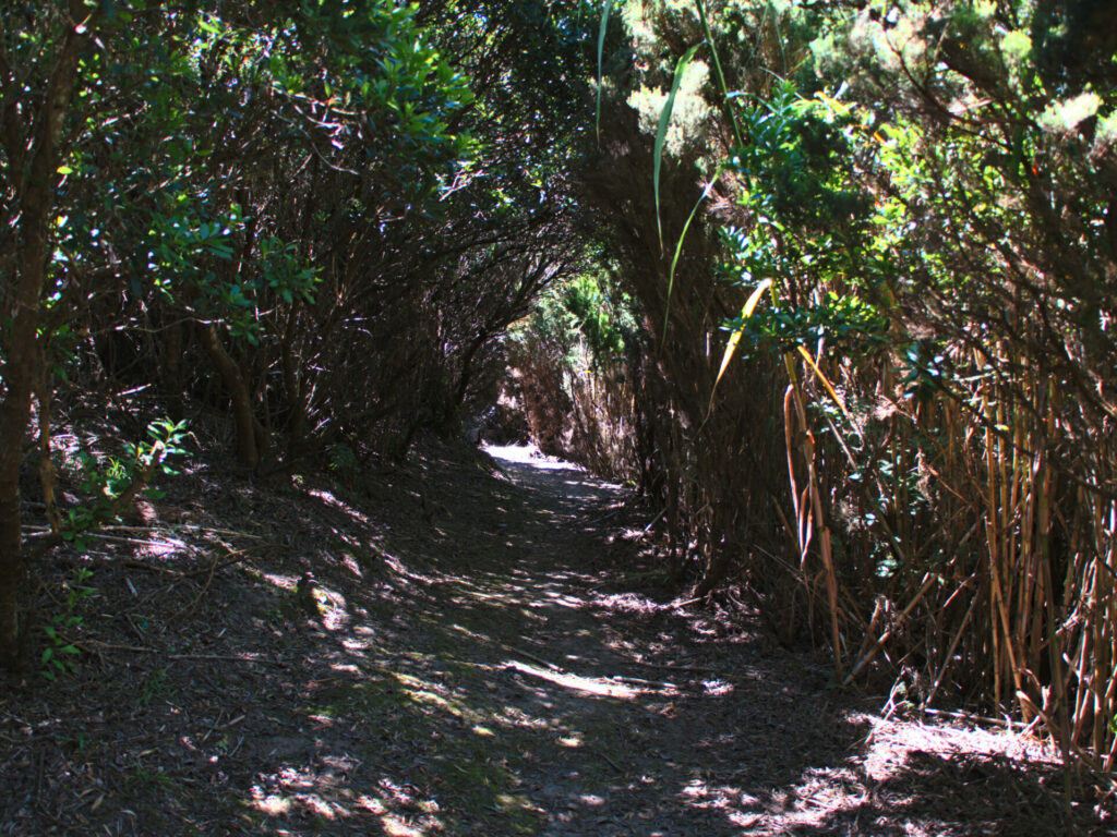
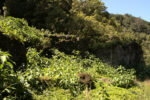
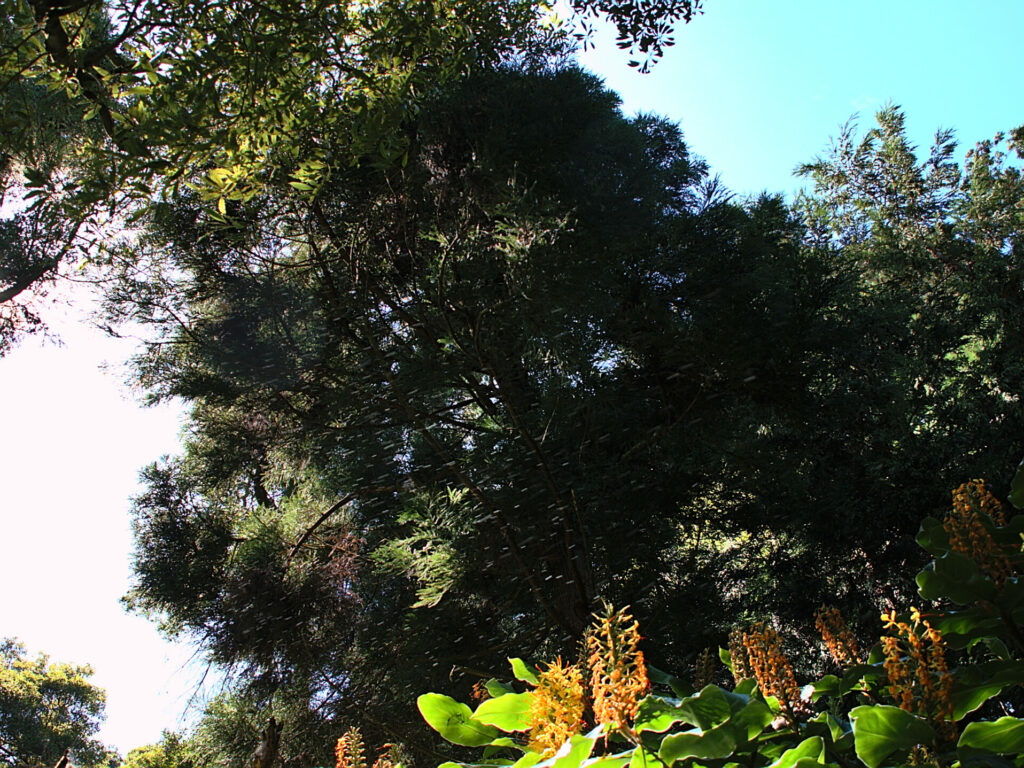
The first part of the hike takes you from Achadinha towards the coast. The path is wide and after about 300 meters, the trail already climbs a little steeper on the right side of the mountain. Due to the dense vegetation of different plants, some sections pass through “natural tunnels”, which provides pleasant shade, especially in summer. At the top, you will get your first beautiful view over the west coast.
Continuing towards the Ribeira dos Caldeirões
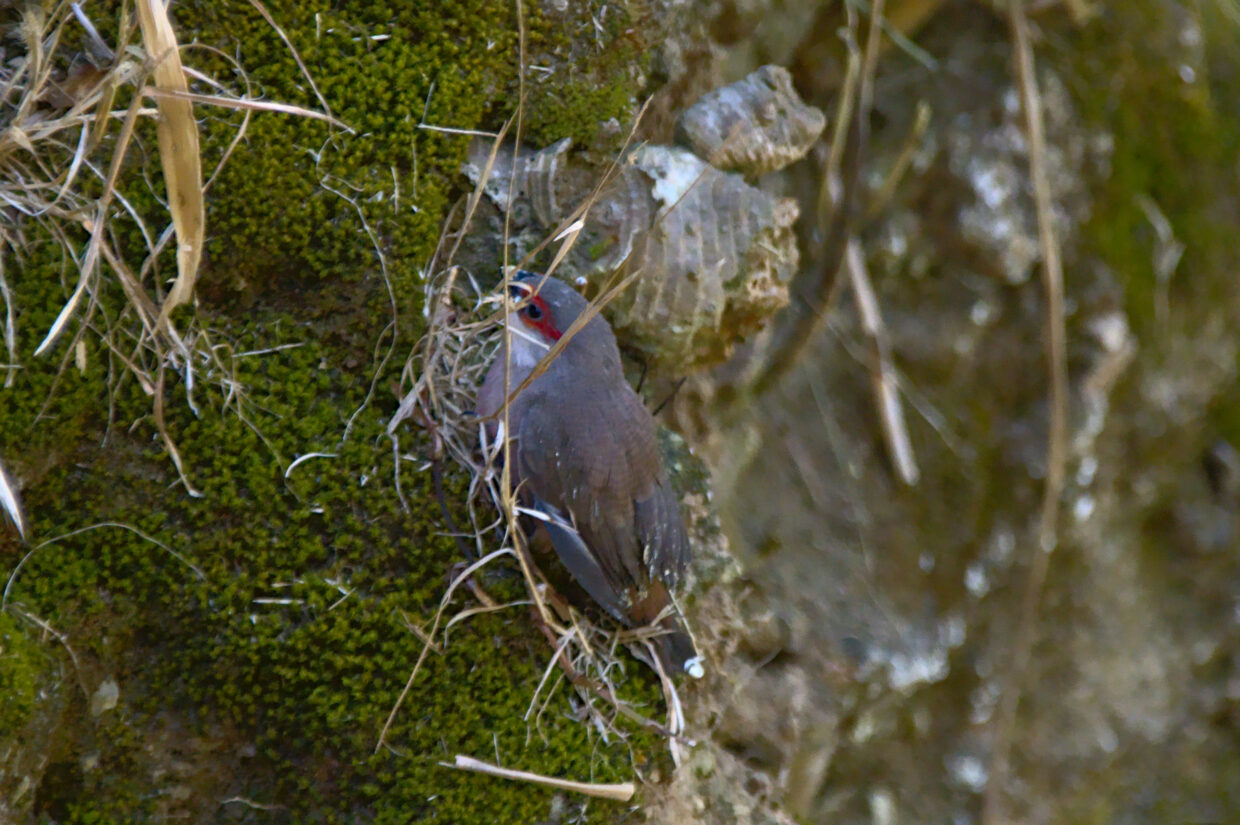
The Lomba D’El Rei hiking trail now takes you further along the coast, eastwards. Many animals appreciate the protection offered by the dense vegetation and the calm of this isolated situation. This is how this young wavy Astrild sought and found protection in the bushes.
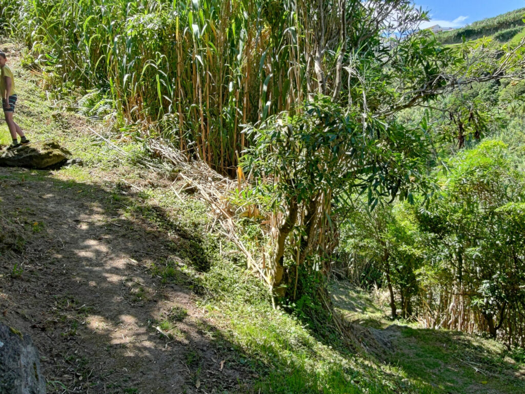
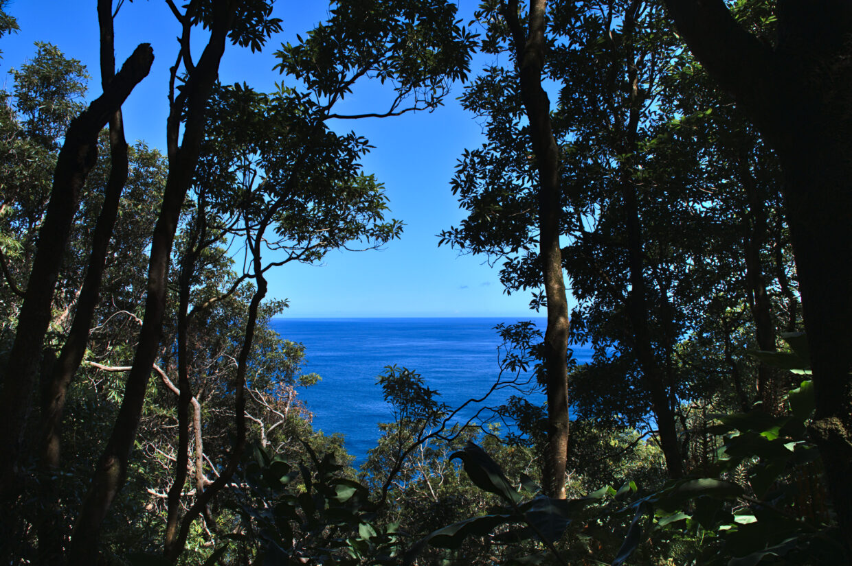
Depending on the section, the very dense plants such as bamboo and trees alternate. So that, you can also catch a glimpse of the coast from time to time.
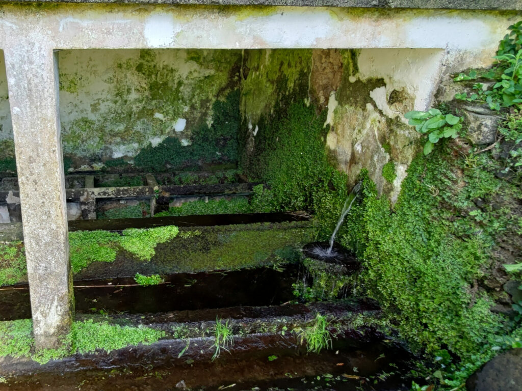
On your way, you will also have to walk past an enclosed spring, which allows you to cool off if it is very hot.
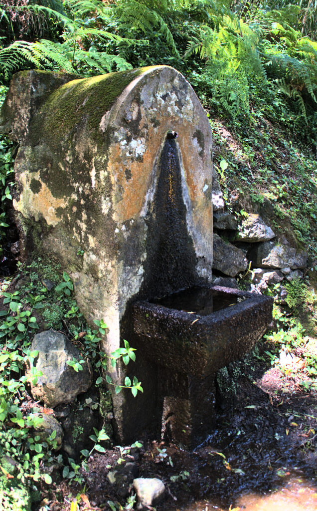
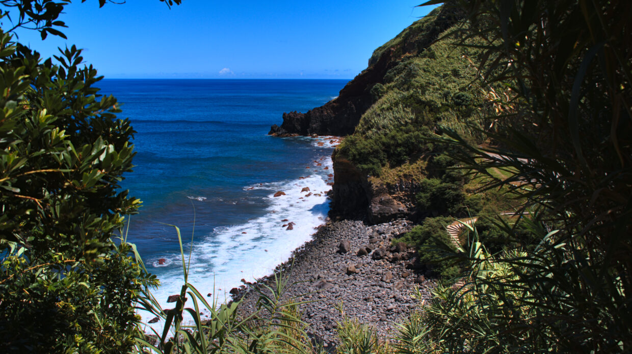
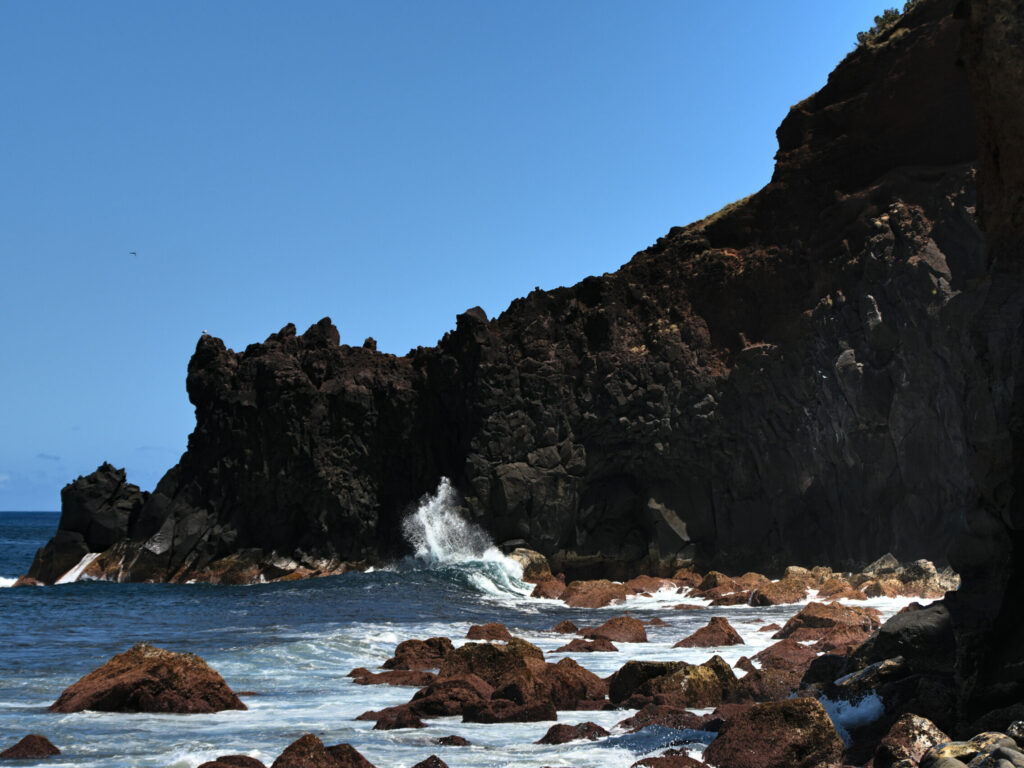
Just after the spring, the path starts to curve down towards the mouth of the Ribeira dos Caldeirões in the Atlantic. You get closer and closer to the rhino and can already see this “creature”.
The coast and the rhinoceros
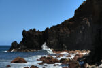
You will certainly have realised by now that the only rhinoceros in Azorea is not a rhinoceros in the true sense of the word, but the resemblance to the outline of a rhinoceros head is hard to deny. A little marked by waves and storms, and certainly already a little old, it stands firm against all winds and weather conditions.

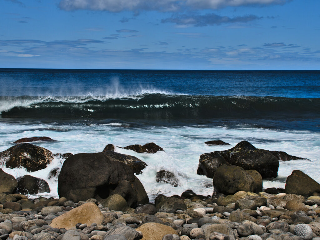
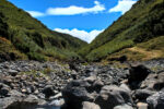
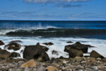
For the walk, you have to cross the river bed, fording it, which is not a problem. If necessary, you will have to cross using the other way, after the rain, a little further down the coast. Moreover, it is a nice place to take a break. Enjoy the peace and quiet and the view of the Atlantic before the path takes you up the mountain again.
Along the Ribeira dos Caldeirões
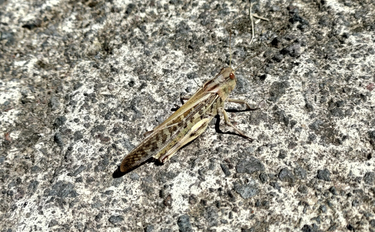
Now that you’re well rested, you can start walking up the Ribeira dos Caldeirões. The first part is on the old concrete road. Although concrete is certainly not the most beautiful sight on earth, there are always nice little surprises to discover, like this grasshopper. wie diese Heuschrecke.
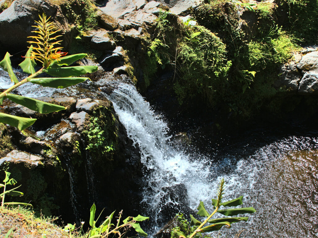
After about 800 meters, where the lower road meets the old road from Achadinha to Achada, the path continues straight on and leaves the road. Afterwards, we saw on the map that a waterfall was also indicated there. But we haven’t seen it yet. But… you can certainly find it out. On the other hand, there is a small waterfall at the confluence of the Ribeira do Lenho and the Ribeira dos Caldeirões, 300 meters upstream.
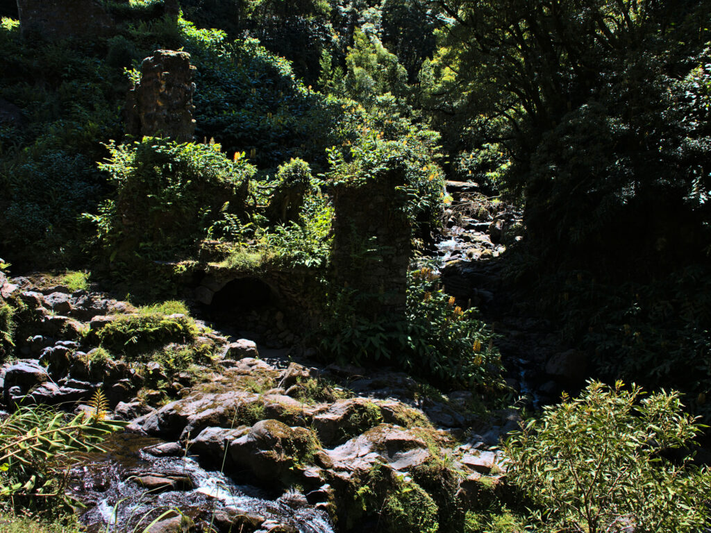
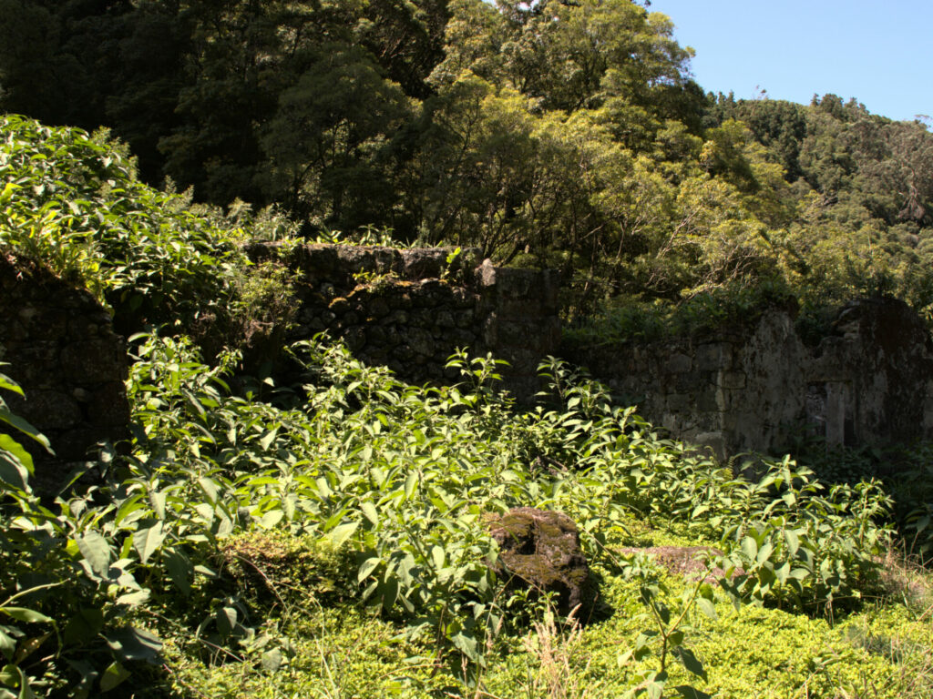
Here, too, you will find the ruins of a water mill “Januário”, which was still in operation until the 1970s and where mainly maize was ground, but also wheat in small quantities. The mill was abandoned in the 1980s.
Return to Achadinha
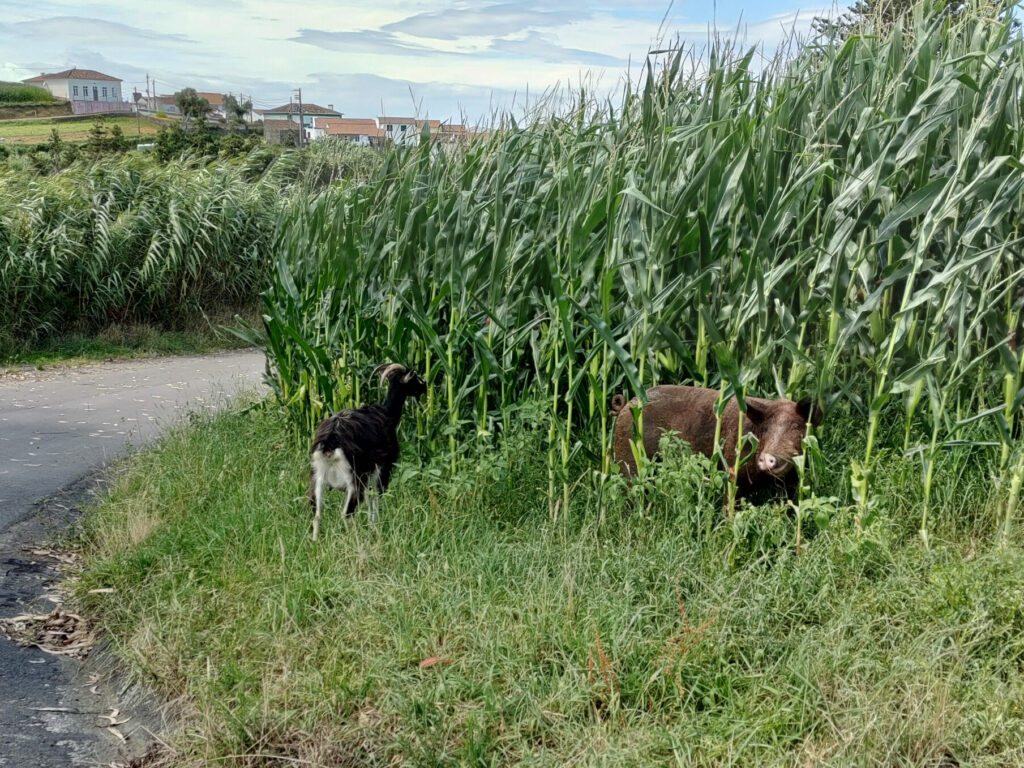
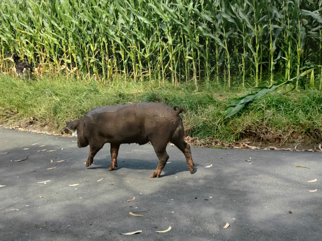
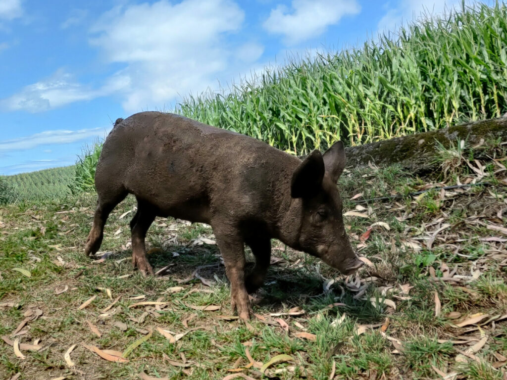
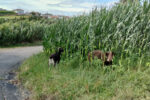
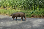
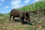
Immediately after the mill, the path climbs to the right, under the EN1-1A bridge (SCUT Nordeste). It first follows the course of the Ribeira do Lenho, crosses the river by a renovated bridge, and then turns to the right. On the way, we were first surprised by a little drizzle, but this did not bother us because of the summer heat. Shortly afterwards, we came across a few confident walkers. There were a few goats, a couple of sheep and a full-grown domestic pig eating with relish in a cornfield. On the way, the pig followed us to its pen, climbed a small slope, pushed a fence panel and returned to its field as if nothing had happened.
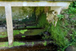
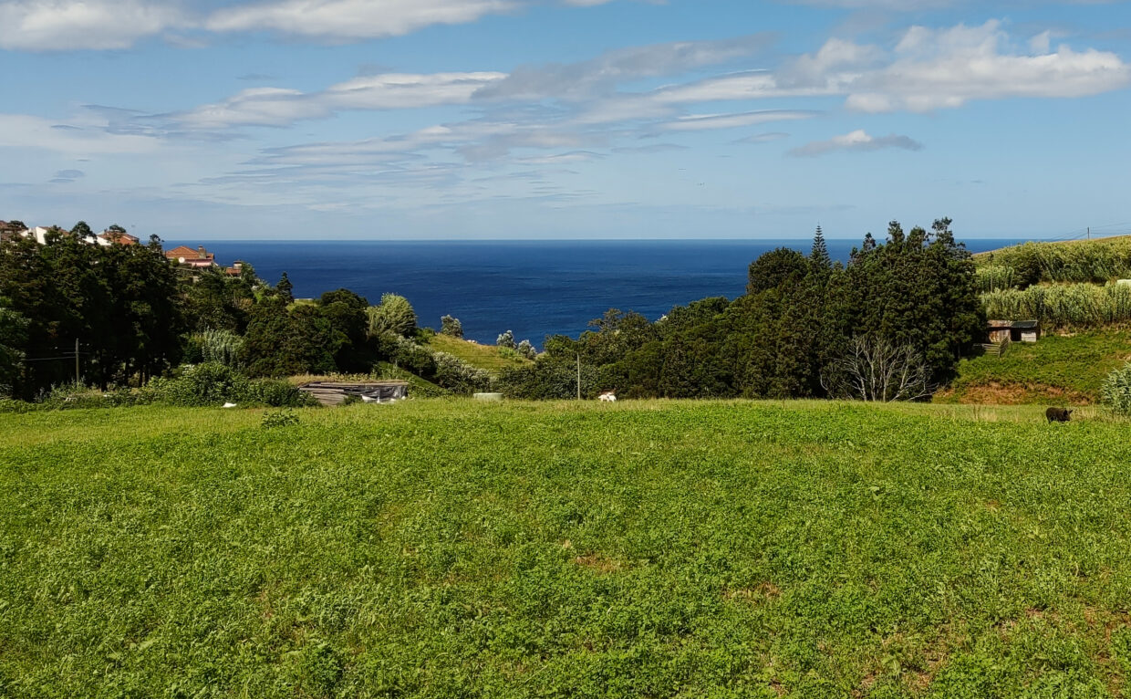
We then passed a spring in an abandoned building and enjoyed the view over the valley and the east side of the coast once again. The return way took us to Achadinha, where we again enjoyed an ice cream at the Poço Azul restaurant. This is where the Quinta dos Açores ice-creams were recently launched, which we can recommend with conviction.
Map and further information
In the area, you will find a few more places that you can perhaps combine with this walking tour:
A short trip from Achadinha to the Poço Azul
Waterfall at the Ribeira do Cachaço
Salto da Farinha
Miradouro da Pedra dos Estorninhos
